Mary Steven's Park
Introduction
The photograph on this page of Mary Steven's Park by Tim Lloydlangston as part of the Geograph project.
The Geograph project started in 2005 with the aim of publishing, organising and preserving representative images for every square kilometre of Great Britain, Ireland and the Isle of Man.

There are currently over 7.5m images from over 14,400 individuals and you can help contribute to the project by visiting https://www.geograph.org.uk
Mary Steven's Park
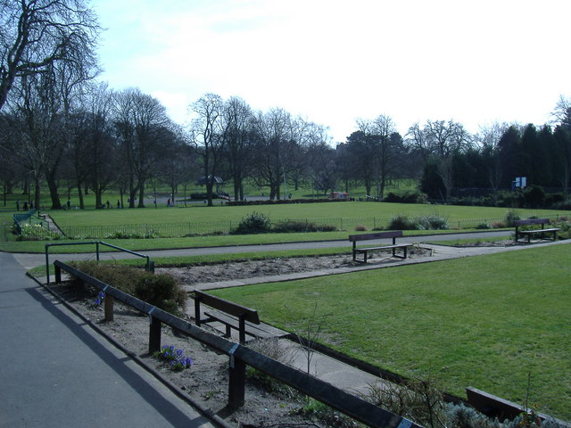
Image: © Tim Lloydlangston Taken: 10 Mar 2007
View of the bandstand across the bowling and croquet lawns on a bright spring morning.
Images are licensed for reuse under creativecommons.org/licenses/by-sa/2.0
Image Location
Latitude
52.448195
Longitude
-2.150181