Staines reservoir aqueduct
Introduction
The photograph on this page of Staines reservoir aqueduct by Alan Hunt as part of the Geograph project.
The Geograph project started in 2005 with the aim of publishing, organising and preserving representative images for every square kilometre of Great Britain, Ireland and the Isle of Man.

There are currently over 7.5m images from over 14,400 individuals and you can help contribute to the project by visiting https://www.geograph.org.uk
Staines reservoir aqueduct
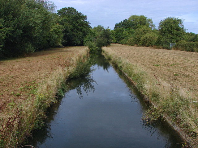
Image: © Alan Hunt Taken: 13 Aug 2013
The aqueduct that runs from the Thames intake at Hythe End to the pumping station near the Crooked Billet roundabout where the water is pumped to the George VI and Staines storage reservoirs. The aqueduct dates from 1910.
Images are licensed for reuse under creativecommons.org/licenses/by-sa/2.0
Image Location
Latitude
51.439834
Longitude
-0.515009