Footpath to Staines Moor
Introduction
The photograph on this page of Footpath to Staines Moor by Alan Hunt as part of the Geograph project.
The Geograph project started in 2005 with the aim of publishing, organising and preserving representative images for every square kilometre of Great Britain, Ireland and the Isle of Man.

There are currently over 7.5m images from over 14,400 individuals and you can help contribute to the project by visiting https://www.geograph.org.uk
Footpath to Staines Moor
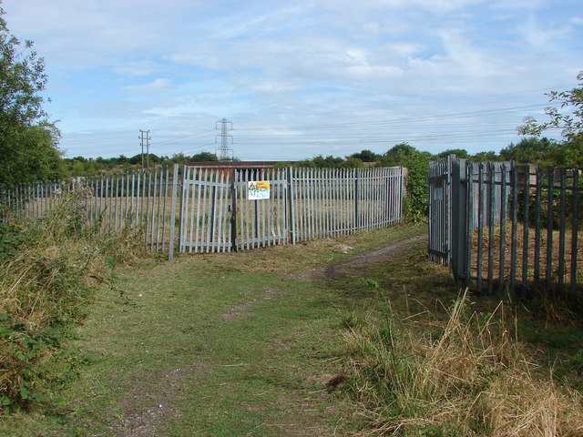
Image: © Alan Hunt Taken: 13 Aug 2013
The bridge over the Staines reservoir aqueduct protected by heavy metal fencing. The A30 underpass can be seen in the background.
Images are licensed for reuse under creativecommons.org/licenses/by-sa/2.0
Image Location
Latitude
51.439649
Longitude
-0.514584