The Link, West Green, Crawley
Introduction
The photograph on this page of The Link, West Green, Crawley by Robin Webster as part of the Geograph project.
The Geograph project started in 2005 with the aim of publishing, organising and preserving representative images for every square kilometre of Great Britain, Ireland and the Isle of Man.

There are currently over 7.5m images from over 14,400 individuals and you can help contribute to the project by visiting https://www.geograph.org.uk
The Link, West Green, Crawley
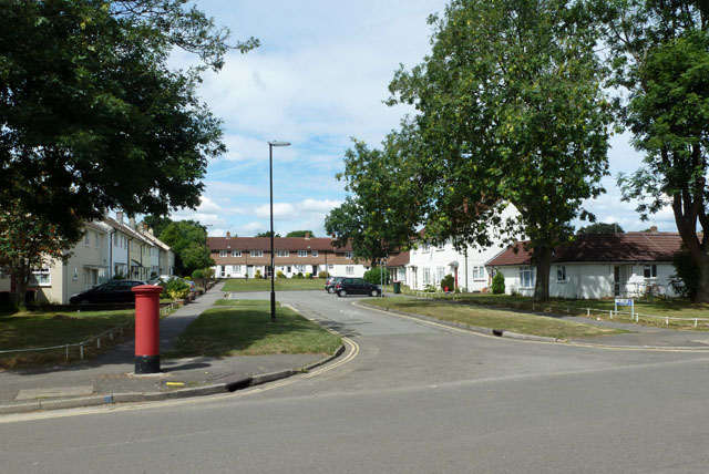
Image: © Robin Webster Taken: 13 Aug 2013
An example of the planning of the new town in its earlier times. The far green is linked to another stub road off to the right.
Images are licensed for reuse under creativecommons.org/licenses/by-sa/2.0
Image Location
Latitude
51.118061
Longitude
-0.19386