Abutments of former railway bridge over College Road
Introduction
The photograph on this page of Abutments of former railway bridge over College Road by John Baker as part of the Geograph project.
The Geograph project started in 2005 with the aim of publishing, organising and preserving representative images for every square kilometre of Great Britain, Ireland and the Isle of Man.

There are currently over 7.5m images from over 14,400 individuals and you can help contribute to the project by visiting https://www.geograph.org.uk
Abutments of former railway bridge over College Road
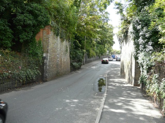
Image: © John Baker Taken: 28 Jul 2013
The bridge carried the Margate Sands Branch, which opened in 1846 and closed on 2 July 1926. The branch was a single line until 1863 and all trains had to reverse at Ramsgate. In 1863, the line was doubled and a triangular junction was completed at St Lawrence. The suffix “Sands” was added in 1889. Image was built on the site of Margate Sands station.
Images are licensed for reuse under creativecommons.org/licenses/by-sa/2.0
Image Location
Latitude
51.377888
Longitude
1.380791