Windsor Methodist Church
Introduction
The photograph on this page of Windsor Methodist Church by Jaggery as part of the Geograph project.
The Geograph project started in 2005 with the aim of publishing, organising and preserving representative images for every square kilometre of Great Britain, Ireland and the Isle of Man.

There are currently over 7.5m images from over 14,400 individuals and you can help contribute to the project by visiting https://www.geograph.org.uk
Windsor Methodist Church
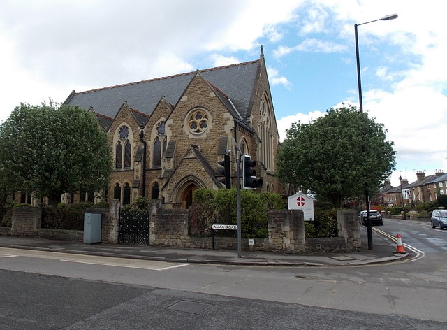
Image: © Jaggery Taken: 27 Apr 2013
On the corner of Alma Road and Clarence Road, Windsor. The foundation stone was laid on May 8th 1876. The church opened for worship on February 21st 1877.
Images are licensed for reuse under creativecommons.org/licenses/by-sa/2.0
Image Location
Latitude
51.480097
Longitude
-0.616093