Meneage Villas
Introduction
The photograph on this page of Meneage Villas by Anthony Vosper as part of the Geograph project.
The Geograph project started in 2005 with the aim of publishing, organising and preserving representative images for every square kilometre of Great Britain, Ireland and the Isle of Man.

There are currently over 7.5m images from over 14,400 individuals and you can help contribute to the project by visiting https://www.geograph.org.uk
Meneage Villas
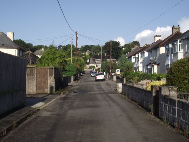
Image: © Anthony Vosper Taken: 3 Aug 2013
Inter war years housing in St Austell. Note the 'moderne style' house at the far end with the tiles extending down the side of the house.
Images are licensed for reuse under creativecommons.org/licenses/by-sa/2.0
Image Location
Latitude
50.335171
Longitude
-4.799799