Vacant lot, Meneage Villas
Introduction
The photograph on this page of Vacant lot, Meneage Villas by Anthony Vosper as part of the Geograph project.
The Geograph project started in 2005 with the aim of publishing, organising and preserving representative images for every square kilometre of Great Britain, Ireland and the Isle of Man.

There are currently over 7.5m images from over 14,400 individuals and you can help contribute to the project by visiting https://www.geograph.org.uk
Vacant lot, Meneage Villas
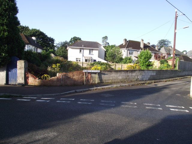
Image: © Anthony Vosper Taken: 3 Aug 2013
A large amount of rubble suggests that a building stood here at one point. The current OS map however has no reference to it. Wikipedia records Meneage as meaning monkish land.
Images are licensed for reuse under creativecommons.org/licenses/by-sa/2.0
Image Location
Latitude
50.335229
Longitude
-4.797413