Broadgate Farm
Introduction
The photograph on this page of Broadgate Farm by Robert Graham as part of the Geograph project.
The Geograph project started in 2005 with the aim of publishing, organising and preserving representative images for every square kilometre of Great Britain, Ireland and the Isle of Man.

There are currently over 7.5m images from over 14,400 individuals and you can help contribute to the project by visiting https://www.geograph.org.uk
Broadgate Farm
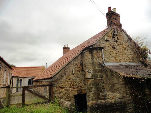
Image: © Robert Graham Taken: 10 Jul 2013
An old farm east of the village of Esh Winning, beside the former Deerness Valley Railway. It is now a used as a day centre for a mental health charity.
Images are licensed for reuse under creativecommons.org/licenses/by-sa/2.0
Image Location
Latitude
54.779933
Longitude
-1.671144