Church Path
Introduction
The photograph on this page of Church Path by Alan Hunt as part of the Geograph project.
The Geograph project started in 2005 with the aim of publishing, organising and preserving representative images for every square kilometre of Great Britain, Ireland and the Isle of Man.

There are currently over 7.5m images from over 14,400 individuals and you can help contribute to the project by visiting https://www.geograph.org.uk
Church Path
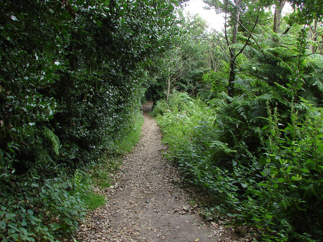
Image: © Alan Hunt Taken: 10 Aug 2013
The footpath that runs across the grounds of St Michael's Abbey. Marked as Monk's Path on some maps but as Church Path on others. According to the Abbey's website this path is reputedly medieval in age.
Images are licensed for reuse under creativecommons.org/licenses/by-sa/2.0
Image Location
Latitude
51.295339
Longitude
-0.746724