Centre of Esh Winning
Introduction
The photograph on this page of Centre of Esh Winning by Robert Graham as part of the Geograph project.
The Geograph project started in 2005 with the aim of publishing, organising and preserving representative images for every square kilometre of Great Britain, Ireland and the Isle of Man.

There are currently over 7.5m images from over 14,400 individuals and you can help contribute to the project by visiting https://www.geograph.org.uk
Centre of Esh Winning
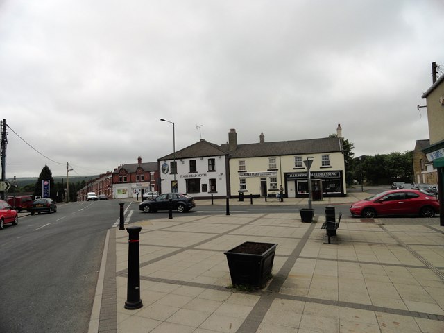
Image: © Robert Graham Taken: 10 Jul 2013
Looking SW from Durham Road down Station View. Esh Winning is a large ex mining village west of Durham City, and was founded in the 1850s to service the new colliery here. It takes its name from the old village of Esh on the valley top a couple of kilometres away to the north.
Images are licensed for reuse under creativecommons.org/licenses/by-sa/2.0
Image Location
Latitude
54.769236
Longitude
-1.704648