Hanger Lane looking towards the gyratory system
Introduction
The photograph on this page of Hanger Lane looking towards the gyratory system by David Howard as part of the Geograph project.
The Geograph project started in 2005 with the aim of publishing, organising and preserving representative images for every square kilometre of Great Britain, Ireland and the Isle of Man.

There are currently over 7.5m images from over 14,400 individuals and you can help contribute to the project by visiting https://www.geograph.org.uk
Hanger Lane looking towards the gyratory system
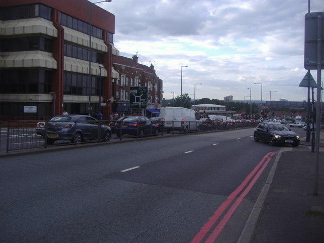
Image: © David Howard Taken: 10 Aug 2013
The roundabout replaced the old traffic lights with more traffic lights plus a roundabout, but outside peak hours usually moves quite well. The circular form of Hanger Lane tube station can be seen in the middle.
Images are licensed for reuse under creativecommons.org/licenses/by-sa/2.0
Image Location
Latitude
51.529159
Longitude
-0.292684