Trinity Square
Introduction
The photograph on this page of Trinity Square by John Baker as part of the Geograph project.
The Geograph project started in 2005 with the aim of publishing, organising and preserving representative images for every square kilometre of Great Britain, Ireland and the Isle of Man.

There are currently over 7.5m images from over 14,400 individuals and you can help contribute to the project by visiting https://www.geograph.org.uk
Trinity Square
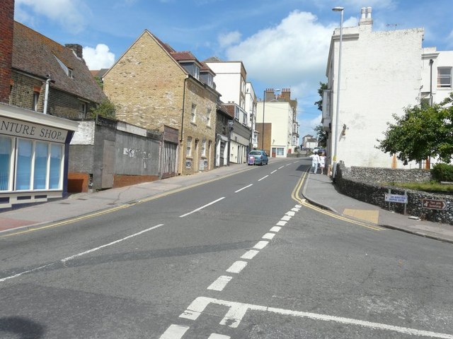
Image: © John Baker Taken: 28 Jul 2013
Seen from its junction with King Street. The light-coloured brick building on the left was being erected when I photographed Image from further away.
Images are licensed for reuse under creativecommons.org/licenses/by-sa/2.0
Image Location
Latitude
51.389943
Longitude
1.383837