Former St Mary Magdalene Church Pontygwaith
Introduction
The photograph on this page of Former St Mary Magdalene Church Pontygwaith by Jaggery as part of the Geograph project.
The Geograph project started in 2005 with the aim of publishing, organising and preserving representative images for every square kilometre of Great Britain, Ireland and the Isle of Man.

There are currently over 7.5m images from over 14,400 individuals and you can help contribute to the project by visiting https://www.geograph.org.uk
Former St Mary Magdalene Church Pontygwaith
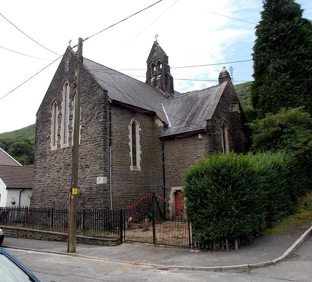
Image: © Jaggery Taken: 8 Aug 2013
Viewed across Madeline Street. The church, dating from the late 19th century, ceased to be used as a place of worship at the end of October 1997.
Images are licensed for reuse under creativecommons.org/licenses/by-sa/2.0
Image Location
Latitude
51.636861
Longitude
-3.432941