King Street
Introduction
The photograph on this page of King Street by John Baker as part of the Geograph project.
The Geograph project started in 2005 with the aim of publishing, organising and preserving representative images for every square kilometre of Great Britain, Ireland and the Isle of Man.

There are currently over 7.5m images from over 14,400 individuals and you can help contribute to the project by visiting https://www.geograph.org.uk
King Street
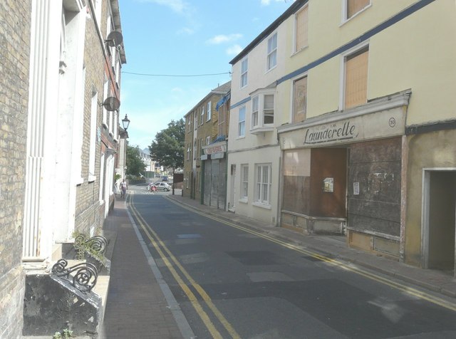
Image: © John Baker Taken: 28 Jul 2013
The unoccupied launderette is at number 30, while two doors away is Kingfisheries at number 34. Kingfisheries’ website describes the shop as stocking “quality fishing products for sea and freshwater fishing” http://www.kingfisheries.co.uk/ Planning permission has been granted by Thanet District Council under application number F/TH/10/0973 for the “erection of a first floor extension”.
Images are licensed for reuse under creativecommons.org/licenses/by-sa/2.0
Image Location
Latitude
51.389784
Longitude
1.383107