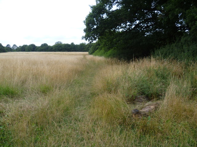
Tolworth Court Farm Fields
Introduction
The photograph on this page of Tolworth Court Farm Fields by Marathon as part of the Geograph project.
The Geograph project started in 2005 with the aim of publishing, organising and preserving representative images for every square kilometre of Great Britain, Ireland and the Isle of Man.
There are currently over 7.5m images from over 14,400 individuals and you can help contribute to the project by visiting https://www.geograph.org.uk

Image: © Marathon Taken: 7 Aug 2013
Tolworth Court Farm Fields is a Local Nature Reserve and consists of a system of fields and hedgerows. At the time of the First Edition Ordnance Survey Map of 1865 this area was part of Tolworth Court Farm. At one stage up to the 1980s it was owned by the London Borough of Lambeth, who originally purchased it with the intention of laying out a cemetery. In the 1980s the Royal Borough of Kingston bought the form to formalise public access to the fields. Some of the hedges are at least 200 years old. Each of the eight fields which make up Tolworth Court Farm Fields has a name - this is Finch Hoares.

