Burnsall Primary School Nursery Annexe
Introduction
The photograph on this page of Burnsall Primary School Nursery Annexe by philandju as part of the Geograph project.
The Geograph project started in 2005 with the aim of publishing, organising and preserving representative images for every square kilometre of Great Britain, Ireland and the Isle of Man.

There are currently over 7.5m images from over 14,400 individuals and you can help contribute to the project by visiting https://www.geograph.org.uk
Burnsall Primary School Nursery Annexe
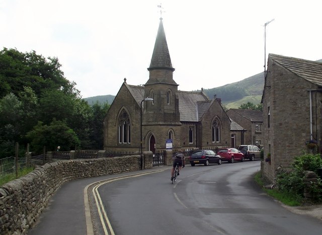
Image: © philandju Taken: 8 Aug 2013
The building was previously a Methodist church.
Images are licensed for reuse under creativecommons.org/licenses/by-sa/2.0
Image Location
Latitude
54.047836
Longitude
-1.95155