New mixed woodland
Introduction
The photograph on this page of New mixed woodland by Penny Mayes as part of the Geograph project.
The Geograph project started in 2005 with the aim of publishing, organising and preserving representative images for every square kilometre of Great Britain, Ireland and the Isle of Man.

There are currently over 7.5m images from over 14,400 individuals and you can help contribute to the project by visiting https://www.geograph.org.uk
New mixed woodland
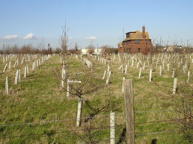
Image: © Penny Mayes Taken: 8 Mar 2007
This area of new mixed woodland has been planted beside Forty Acres Hill west of its junction with Scocles Road and is already shown on the OS 1:50000 but not on the 1:25000. There is new building development west and north of here. The trees seem to have been planted very close together. The house is Scocles Farmhouse.
Images are licensed for reuse under creativecommons.org/licenses/by-sa/2.0
Image Location


Leaflet Map data © OpenStreetMap
Latitude
51.410832
Longitude
0.800577