NW edge of residential Tylorstown
Introduction
The photograph on this page of NW edge of residential Tylorstown by Jaggery as part of the Geograph project.
The Geograph project started in 2005 with the aim of publishing, organising and preserving representative images for every square kilometre of Great Britain, Ireland and the Isle of Man.

There are currently over 7.5m images from over 14,400 individuals and you can help contribute to the project by visiting https://www.geograph.org.uk
NW edge of residential Tylorstown
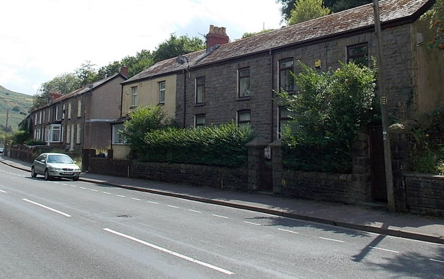
Image: © Jaggery Taken: 8 Aug 2013
Viewed across the A4233 East Road. The house on the right is the last on this side of the road in Tylorstown. The next houses are in Oak Terrace, Ferndale, about 400 metres beyond the right edge of the view.
Images are licensed for reuse under creativecommons.org/licenses/by-sa/2.0
Image Location
Latitude
51.654005
Longitude
-3.435505