Un-permissive path on East Lound Road
Introduction
The photograph on this page of Un-permissive path on East Lound Road by Chris as part of the Geograph project.
The Geograph project started in 2005 with the aim of publishing, organising and preserving representative images for every square kilometre of Great Britain, Ireland and the Isle of Man.

There are currently over 7.5m images from over 14,400 individuals and you can help contribute to the project by visiting https://www.geograph.org.uk
Un-permissive path on East Lound Road
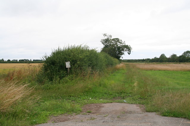
Image: © Chris Taken: 4 Aug 2013
"This Permissive Footpath/bridleway will close on Monday 1st October 2012, permanently". A salutary reminder of what can happen to Permissive Paths, so don't take them for granted!
Images are licensed for reuse under creativecommons.org/licenses/by-sa/2.0
Image Location
Latitude
53.494065
Longitude
-0.805852