Whalley Lane, Denholme
Introduction
The photograph on this page of Whalley Lane, Denholme by Paul Glazzard as part of the Geograph project.
The Geograph project started in 2005 with the aim of publishing, organising and preserving representative images for every square kilometre of Great Britain, Ireland and the Isle of Man.

There are currently over 7.5m images from over 14,400 individuals and you can help contribute to the project by visiting https://www.geograph.org.uk
Whalley Lane, Denholme
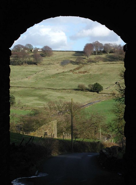
Image: © Paul Glazzard Taken: 6 Mar 2007
Looking east along Whalley Lane from the disused railway bridge near Buck Park, towards Meal Bridge in the Denhlome Beck valley and Old Allen Moor beyond.
Images are licensed for reuse under creativecommons.org/licenses/by-sa/2.0
Image Location
Latitude
53.810062
Longitude
-1.882574