Cripple Croft Plantation, Denholme
Introduction
The photograph on this page of Cripple Croft Plantation, Denholme by Paul Glazzard as part of the Geograph project.
The Geograph project started in 2005 with the aim of publishing, organising and preserving representative images for every square kilometre of Great Britain, Ireland and the Isle of Man.

There are currently over 7.5m images from over 14,400 individuals and you can help contribute to the project by visiting https://www.geograph.org.uk
Cripple Croft Plantation, Denholme
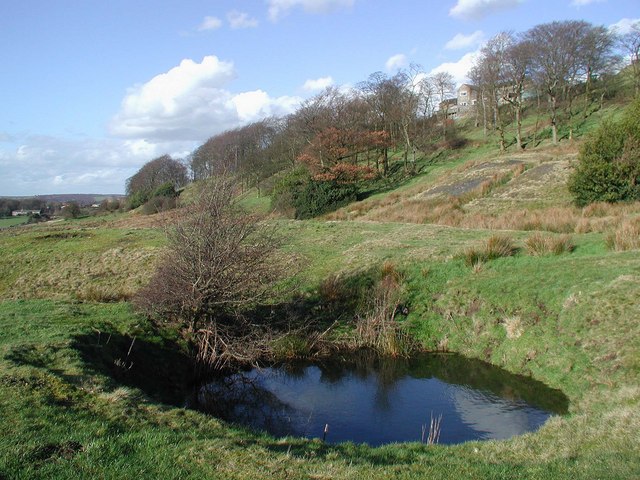
Image: © Paul Glazzard Taken: 6 Mar 2007
Water-filled shaft at the old mine north of Doe Park Reservoir, looking north-northeast towards Thorngate and Cripple Croft Plantation.
Images are licensed for reuse under creativecommons.org/licenses/by-sa/2.0
Image Location
Latitude
53.806557
Longitude
-1.882888