Eggesford House seen from Eggesford Church
Introduction
The photograph on this page of Eggesford House seen from Eggesford Church by David Smith as part of the Geograph project.
The Geograph project started in 2005 with the aim of publishing, organising and preserving representative images for every square kilometre of Great Britain, Ireland and the Isle of Man.

There are currently over 7.5m images from over 14,400 individuals and you can help contribute to the project by visiting https://www.geograph.org.uk
Eggesford House seen from Eggesford Church
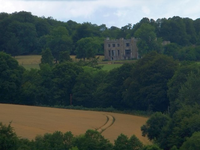
Image: © David Smith Taken: 6 Aug 2013
This is now a ruin, having been built in 1822 and dismantled 95 years later in 1917
Images are licensed for reuse under creativecommons.org/licenses/by-sa/2.0
Image Location
Latitude
50.886402
Longitude
-3.884928