Former chapel, Upper Street (1888)
Introduction
The photograph on this page of Former chapel, Upper Street (1888) by Jim Osley as part of the Geograph project.
The Geograph project started in 2005 with the aim of publishing, organising and preserving representative images for every square kilometre of Great Britain, Ireland and the Isle of Man.

There are currently over 7.5m images from over 14,400 individuals and you can help contribute to the project by visiting https://www.geograph.org.uk
Former chapel, Upper Street (1888)
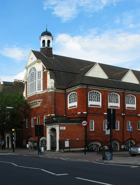
Image: © Jim Osley Taken: 7 Aug 2013
Grade II listed (described at this http://list.english-heritage.org.uk/resultsingle.aspx?uid=1297947 ) former chapel built 1887-1888 to the designs of architects Bonella and Paull. Closed in 1979, and subsequently converted to non-secular use.
Images are licensed for reuse under creativecommons.org/licenses/by-sa/2.0
Image Location
Latitude
51.537219
Longitude
-0.103199