A47 near East Norton
Introduction
The photograph on this page of A47 near East Norton by Peter Whatley as part of the Geograph project.
The Geograph project started in 2005 with the aim of publishing, organising and preserving representative images for every square kilometre of Great Britain, Ireland and the Isle of Man.

There are currently over 7.5m images from over 14,400 individuals and you can help contribute to the project by visiting https://www.geograph.org.uk
A47 near East Norton
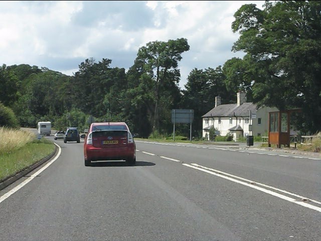
Image: © Peter Whatley Taken: 28 Jul 2013
The dwelling is set on the old course of the A47. The bus shelter is diminutive, yet attractive.
Images are licensed for reuse under creativecommons.org/licenses/by-sa/2.0
Image Location
Latitude
52.596287
Longitude
-0.852995