Formerly, The Boat Inn
Introduction
The photograph on this page of Formerly, The Boat Inn by Richard Greenwood as part of the Geograph project.
The Geograph project started in 2005 with the aim of publishing, organising and preserving representative images for every square kilometre of Great Britain, Ireland and the Isle of Man.

There are currently over 7.5m images from over 14,400 individuals and you can help contribute to the project by visiting https://www.geograph.org.uk
Formerly, The Boat Inn
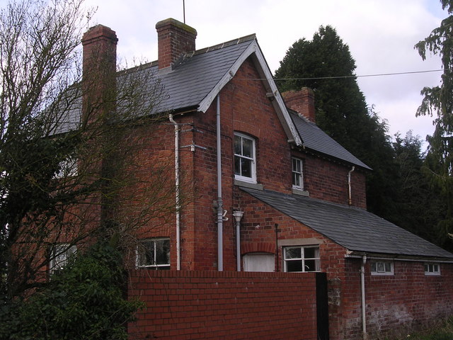
Image: © Richard Greenwood Taken: 8 Mar 2007
Shown as an Inn on 1940's map, appears to have been closed a number of years. Hot and cold food offered on the wall of outbuilding opposite see Image
Images are licensed for reuse under creativecommons.org/licenses/by-sa/2.0
Image Location
Latitude
52.057984
Longitude
-2.80257