NET tram route
Introduction
The photograph on this page of NET tram route by David Lally as part of the Geograph project.
The Geograph project started in 2005 with the aim of publishing, organising and preserving representative images for every square kilometre of Great Britain, Ireland and the Isle of Man.

There are currently over 7.5m images from over 14,400 individuals and you can help contribute to the project by visiting https://www.geograph.org.uk
NET tram route
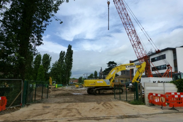
Image: © David Lally Taken: 5 Aug 2013
Here's were the tram lines will leave / join Chilwell High Road to take their trip through backwaters of Chilwell and Bramcote to arrive at the Park and Ride at Toton.
Images are licensed for reuse under creativecommons.org/licenses/by-sa/2.0
Image Location
Latitude
52.921132
Longitude
-1.224161