Full Mohican
Introduction
The photograph on this page of Full Mohican by Hugh Close as part of the Geograph project.
The Geograph project started in 2005 with the aim of publishing, organising and preserving representative images for every square kilometre of Great Britain, Ireland and the Isle of Man.

There are currently over 7.5m images from over 14,400 individuals and you can help contribute to the project by visiting https://www.geograph.org.uk
Full Mohican
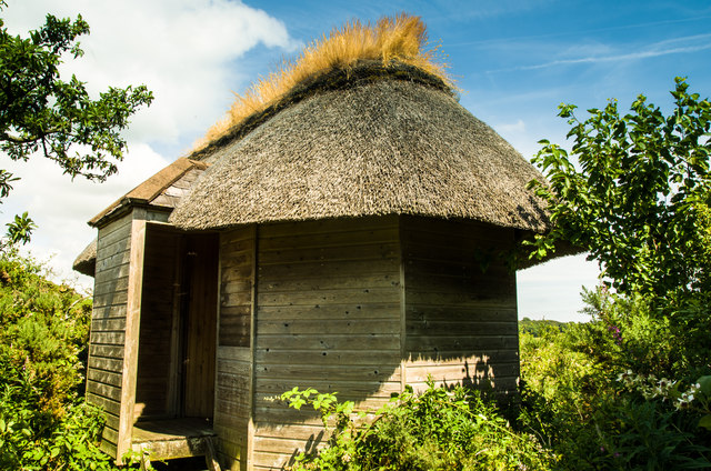
Image: © Hugh Close Taken: 20 Jul 2013
This thatched bird hide is beside the Hugh Paton path between Auchencairn and Old Torr.(The first rate thatching is by Jem Cox)
Images are licensed for reuse under creativecommons.org/licenses/by-sa/2.0
Image Location
Latitude
54.847134
Longitude
-3.863397