Southern boundary of Newtown, Powys
Introduction
The photograph on this page of Southern boundary of Newtown, Powys by Jaggery as part of the Geograph project.
The Geograph project started in 2005 with the aim of publishing, organising and preserving representative images for every square kilometre of Great Britain, Ireland and the Isle of Man.

There are currently over 7.5m images from over 14,400 individuals and you can help contribute to the project by visiting https://www.geograph.org.uk
Southern boundary of Newtown, Powys
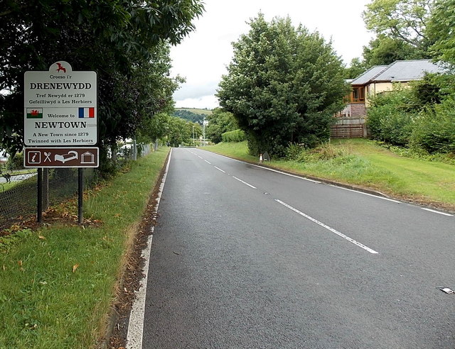
Image: © Jaggery Taken: 4 Aug 2013
The A483 Dolfor Road passes the boundary sign at the southern edge of Newtown, the largest town in Powys. Its population was 12,783 on the day of the 2001 Census. The sign states that Newtown has been a new town since 1279. It is twinned with Les Herbiers (France).
Images are licensed for reuse under creativecommons.org/licenses/by-sa/2.0
Image Location
Latitude
52.50504
Longitude
-3.318542