Southdown Hill
Introduction
The photograph on this page of Southdown Hill by Tom Jolliffe as part of the Geograph project.
The Geograph project started in 2005 with the aim of publishing, organising and preserving representative images for every square kilometre of Great Britain, Ireland and the Isle of Man.

There are currently over 7.5m images from over 14,400 individuals and you can help contribute to the project by visiting https://www.geograph.org.uk
Southdown Hill
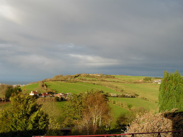
Image: © Tom Jolliffe Taken: Unknown
A view of Southdown Hill, with houses on Gattery Lane. This was taken from Raddicombe Drive, Hillhead, with the sea of Torbay visible on the left of the hill.
Images are licensed for reuse under creativecommons.org/licenses/by-sa/2.0
Image Location
Latitude
50.376383
Longitude
-3.528358