View to Graig Syfyrddin
Introduction
The photograph on this page of View to Graig Syfyrddin by Philip Halling as part of the Geograph project.
The Geograph project started in 2005 with the aim of publishing, organising and preserving representative images for every square kilometre of Great Britain, Ireland and the Isle of Man.

There are currently over 7.5m images from over 14,400 individuals and you can help contribute to the project by visiting https://www.geograph.org.uk
View to Graig Syfyrddin
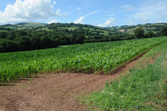
Image: © Philip Halling Taken: 3 Aug 2013
View across farmland to Graig Syfyrddin, also known as Edmund's Tump. Black Brook flows through the valley.
Images are licensed for reuse under creativecommons.org/licenses/by-sa/2.0
Image Location
Latitude
51.881389
Longitude
-2.817435