Combined cycleway and footpath
Introduction
The photograph on this page of Combined cycleway and footpath by David P Howard as part of the Geograph project.
The Geograph project started in 2005 with the aim of publishing, organising and preserving representative images for every square kilometre of Great Britain, Ireland and the Isle of Man.

There are currently over 7.5m images from over 14,400 individuals and you can help contribute to the project by visiting https://www.geograph.org.uk
Combined cycleway and footpath
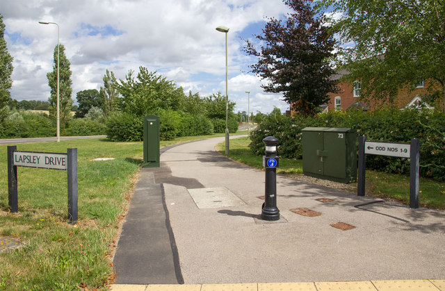
Image: © David P Howard Taken: 3 Aug 2013
Looking ENE along the southern edge of Dukes Meadow Drive at the junction with Lapsley Drive.
Images are licensed for reuse under creativecommons.org/licenses/by-sa/2.0
Image Location
Latitude
52.081189
Longitude
-1.34358