Cuton lock & weir, 2013
Introduction
The photograph on this page of Cuton lock & weir, 2013 by Trevor Harris as part of the Geograph project.
The Geograph project started in 2005 with the aim of publishing, organising and preserving representative images for every square kilometre of Great Britain, Ireland and the Isle of Man.

There are currently over 7.5m images from over 14,400 individuals and you can help contribute to the project by visiting https://www.geograph.org.uk
Cuton lock & weir, 2013
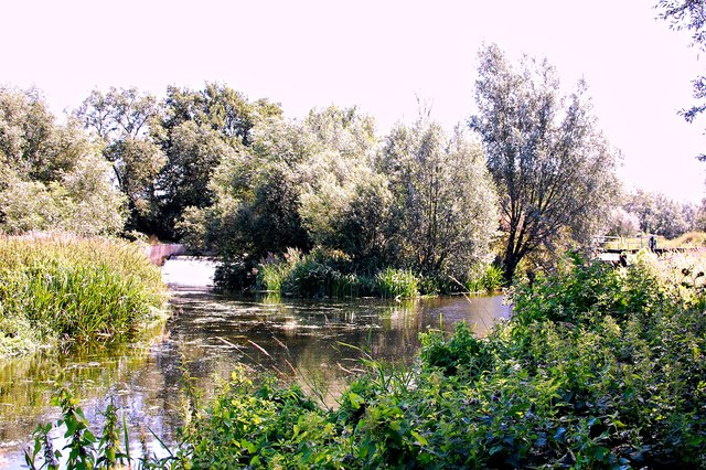
Image: © Trevor Harris Taken: 1 Aug 2013
The weir can be seen on the left, something of the lock on the right. It is interesting to compare with the same scene in 1982 courtesy of geographer Robin Webster Image (although that was in the spring and this shot in summer).
Images are licensed for reuse under creativecommons.org/licenses/by-sa/2.0
Image Location


Leaflet Map data © OpenStreetMap
Latitude
51.739558
Longitude
0.522603