School Footpath
Introduction
The photograph on this page of School Footpath by Dennis Turner as part of the Geograph project.
The Geograph project started in 2005 with the aim of publishing, organising and preserving representative images for every square kilometre of Great Britain, Ireland and the Isle of Man.

There are currently over 7.5m images from over 14,400 individuals and you can help contribute to the project by visiting https://www.geograph.org.uk
School Footpath
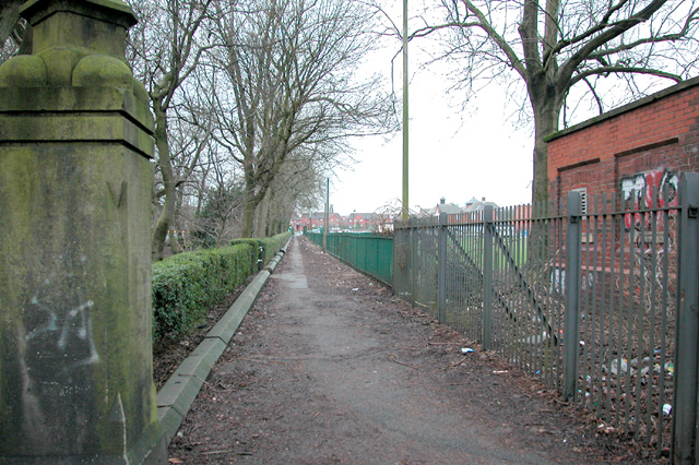
Image: © Dennis Turner Taken: 21 Jan 2003
Footpath leads from Wellington Road to Parliament Street Bury. Bordering the eastern boundary of Manchester Road park, it has been used by generations of school students.
Images are licensed for reuse under creativecommons.org/licenses/by-sa/2.0
Image Location
Latitude
53.585316
Longitude
-2.29754