Barns at Central Farm
Introduction
The photograph on this page of Barns at Central Farm by Richard Law as part of the Geograph project.
The Geograph project started in 2005 with the aim of publishing, organising and preserving representative images for every square kilometre of Great Britain, Ireland and the Isle of Man.

There are currently over 7.5m images from over 14,400 individuals and you can help contribute to the project by visiting https://www.geograph.org.uk
Barns at Central Farm
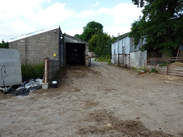
Image: © Richard Law Taken: 13 Jul 2013
Just down the hill from the bends at Crowsnest Dingle, a bridleway leads through the Central Farm, and runs westwards towards Hogstow Hall and the A488 through the Hope Valley, passing these barns on the way.
Images are licensed for reuse under creativecommons.org/licenses/by-sa/2.0
Image Location


Leaflet Map data © OpenStreetMap
Latitude
52.606865
Longitude
-2.935137