Field at Lower Baber Farm
Introduction
The photograph on this page of Field at Lower Baber Farm by Derek Harper as part of the Geograph project.
The Geograph project started in 2005 with the aim of publishing, organising and preserving representative images for every square kilometre of Great Britain, Ireland and the Isle of Man.

There are currently over 7.5m images from over 14,400 individuals and you can help contribute to the project by visiting https://www.geograph.org.uk
Field at Lower Baber Farm
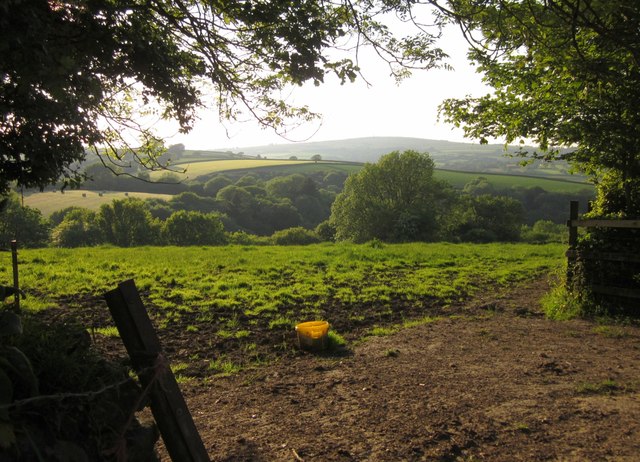
Image: © Derek Harper Taken: 7 Jun 2013
From footpath 625/6/2, with the field dropping into Timber Wood on the far side.
Images are licensed for reuse under creativecommons.org/licenses/by-sa/2.0
Image Location
Latitude
50.490738
Longitude
-4.255721