The Old Schoolhouse
Introduction
The photograph on this page of The Old Schoolhouse by Sue Adair as part of the Geograph project.
The Geograph project started in 2005 with the aim of publishing, organising and preserving representative images for every square kilometre of Great Britain, Ireland and the Isle of Man.

There are currently over 7.5m images from over 14,400 individuals and you can help contribute to the project by visiting https://www.geograph.org.uk
The Old Schoolhouse
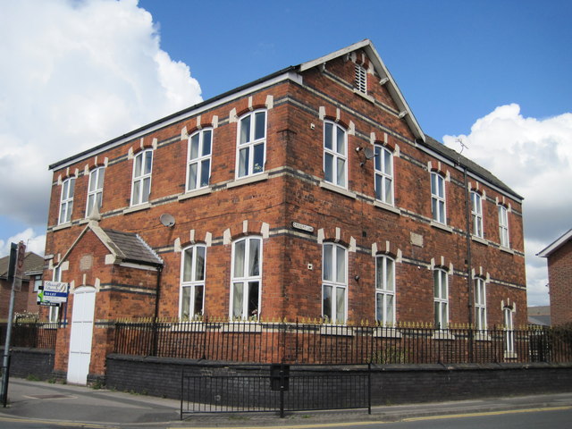
Image: © Sue Adair Taken: 1 May 2013
The old Schoolhouse at the junction of Cross Pit Lane and Ormskirk Road, now converted to residential use. The plaque reads " This Land was given by the Right Honourable the Earl of Derby for a day or Sunday School for Ever - 1825".
Images are licensed for reuse under creativecommons.org/licenses/by-sa/2.0
Image Location
Latitude
53.502371
Longitude
-2.78814