Road to Cwmcelyn from High Street Blaina
Introduction
The photograph on this page of Road to Cwmcelyn from High Street Blaina by Jaggery as part of the Geograph project.
The Geograph project started in 2005 with the aim of publishing, organising and preserving representative images for every square kilometre of Great Britain, Ireland and the Isle of Man.

There are currently over 7.5m images from over 14,400 individuals and you can help contribute to the project by visiting https://www.geograph.org.uk
Road to Cwmcelyn from High Street Blaina
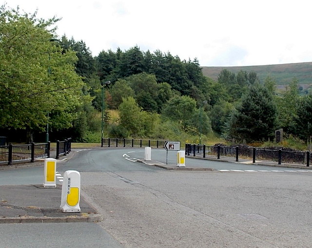
Image: © Jaggery Taken: 26 Jul 2013
The road leads to the Cwmcelyn area of Blaina, and Cwmcelyn Pond, a small recreational lake with walks, a picnic area and fishing.
Images are licensed for reuse under creativecommons.org/licenses/by-sa/2.0
Image Location
Latitude
51.768722
Longitude
-3.160309