Cannon's Marsh, Bristol
Introduction
The photograph on this page of Cannon's Marsh, Bristol by Chris Allen as part of the Geograph project.
The Geograph project started in 2005 with the aim of publishing, organising and preserving representative images for every square kilometre of Great Britain, Ireland and the Isle of Man.

There are currently over 7.5m images from over 14,400 individuals and you can help contribute to the project by visiting https://www.geograph.org.uk
Cannon's Marsh, Bristol
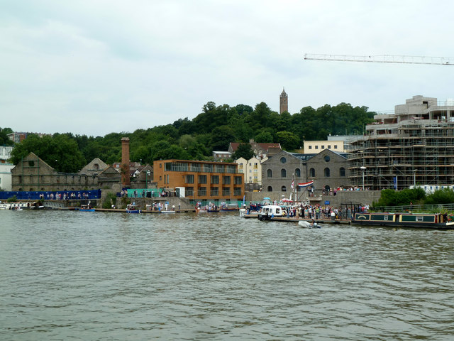
Image: © Chris Allen Taken: 27 Jul 2013
This area was for long underdeveloped and home to a very derelict gas works. Major developments have crept along the harbour front, one building has been totally refurbished and a little dock inlet has been created. The inlet was full of former lifeboats and steam launches. Sadly we were on the wrong side of the harbour to explore here and ran out of time to take a ferry.
Images are licensed for reuse under creativecommons.org/licenses/by-sa/2.0
Image Location
Latitude
51.449645
Longitude
-2.606361