OS benchmark - Haughton Lane
Introduction
The photograph on this page of OS benchmark - Haughton Lane by Richard Law as part of the Geograph project.
The Geograph project started in 2005 with the aim of publishing, organising and preserving representative images for every square kilometre of Great Britain, Ireland and the Isle of Man.

There are currently over 7.5m images from over 14,400 individuals and you can help contribute to the project by visiting https://www.geograph.org.uk
OS benchmark - Haughton Lane
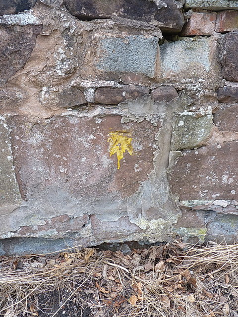
Image: © Richard Law Taken: 28 Jul 2013
A cut mark in the wall, 3m north of the junction with Priorslee Road (at the 5-ways roundabout). Levelled to a height of 90.13m, or 295'8" above Ordnance Datum Newlyn. The yellow lichen slightly obscures the mark, but it seems churlish to wire-brush it off.
Images are licensed for reuse under creativecommons.org/licenses/by-sa/2.0
Image Location
Latitude
52.667659
Longitude
-2.378005