The Green, Kingsand
Introduction
The photograph on this page of The Green, Kingsand by Darren Rosson as part of the Geograph project.
The Geograph project started in 2005 with the aim of publishing, organising and preserving representative images for every square kilometre of Great Britain, Ireland and the Isle of Man.

There are currently over 7.5m images from over 14,400 individuals and you can help contribute to the project by visiting https://www.geograph.org.uk
The Green, Kingsand
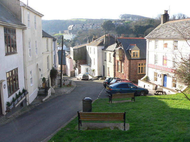
Image: © Darren Rosson Taken: 5 Feb 2007
The Green at Kingsand with the Rising Sun Inn on the right and Cawsand Fort in the distance
Images are licensed for reuse under creativecommons.org/licenses/by-sa/2.0
Image Location
Latitude
50.334276
Longitude
-4.201926