Beddington: Bridge over a Wandle tributary
Introduction
The photograph on this page of Beddington: Bridge over a Wandle tributary by Dr Neil Clifton as part of the Geograph project.
The Geograph project started in 2005 with the aim of publishing, organising and preserving representative images for every square kilometre of Great Britain, Ireland and the Isle of Man.

There are currently over 7.5m images from over 14,400 individuals and you can help contribute to the project by visiting https://www.geograph.org.uk
Beddington: Bridge over a Wandle tributary
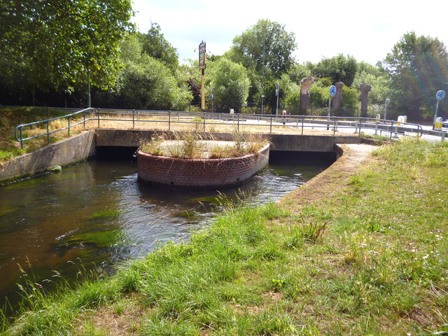
Image: © Dr Neil Clifton Taken: 28 Jul 2013
This stream which flows across Mill Green is not the main River Wandle, but a tributary of it from the east side. The road is the A237, and on the far side of it is to be seen the sign for the derelict 'Queen's Arms', which is off picture to the right.
Images are licensed for reuse under creativecommons.org/licenses/by-sa/2.0
Image Location
Latitude
51.386485
Longitude
-0.158447