Derelict footbridge on Esher Common
Introduction
The photograph on this page of Derelict footbridge on Esher Common by Hugh Craddock as part of the Geograph project.
The Geograph project started in 2005 with the aim of publishing, organising and preserving representative images for every square kilometre of Great Britain, Ireland and the Isle of Man.

There are currently over 7.5m images from over 14,400 individuals and you can help contribute to the project by visiting https://www.geograph.org.uk
Derelict footbridge on Esher Common
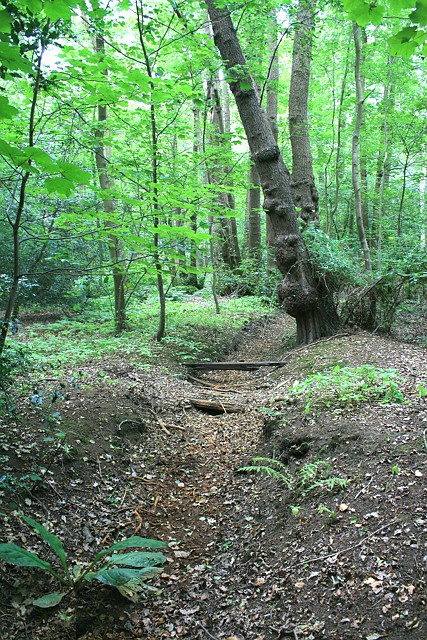
Image: © Hugh Craddock Taken: 21 Jul 2013
Derelict footbridge over a ditch on Esher Common. The footbridge is part of a now overgrown and virtually untraceable footpath which ran parallel to the horse ride on the north perimeter of the common, and which is still shown on current Ordnance Survey Explorer maps.
Images are licensed for reuse under creativecommons.org/licenses/by-sa/2.0
Image Location
Latitude
51.35395
Longitude
-0.365843