Vinegar Hill
Introduction
The photograph on this page of Vinegar Hill by Derek Harper as part of the Geograph project.
The Geograph project started in 2005 with the aim of publishing, organising and preserving representative images for every square kilometre of Great Britain, Ireland and the Isle of Man.

There are currently over 7.5m images from over 14,400 individuals and you can help contribute to the project by visiting https://www.geograph.org.uk
Vinegar Hill
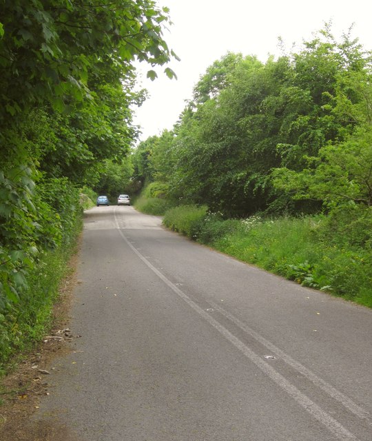
Image: © Derek Harper Taken: 7 Jun 2013
This used to be the route of the A388, the main road between Callington and Saltash. It's now a quiet cul-de-sac.
Images are licensed for reuse under creativecommons.org/licenses/by-sa/2.0
Image Location
Latitude
50.454488
Longitude
-4.255827