Access road to Chapel Farm near Coalbrookvale, Nantyglo
Introduction
The photograph on this page of Access road to Chapel Farm near Coalbrookvale, Nantyglo by Jaggery as part of the Geograph project.
The Geograph project started in 2005 with the aim of publishing, organising and preserving representative images for every square kilometre of Great Britain, Ireland and the Isle of Man.

There are currently over 7.5m images from over 14,400 individuals and you can help contribute to the project by visiting https://www.geograph.org.uk
Access road to Chapel Farm near Coalbrookvale, Nantyglo
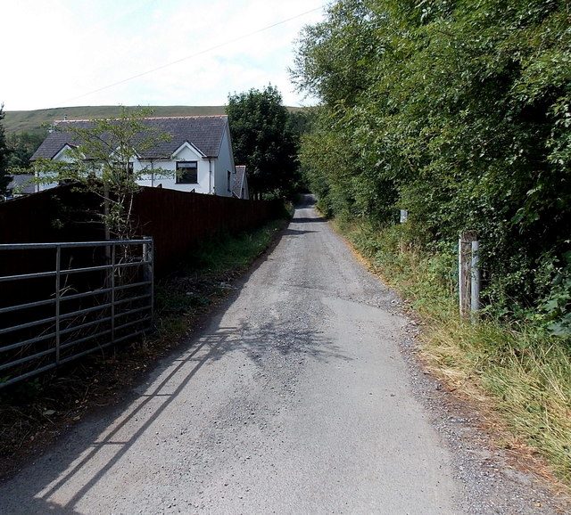
Image: © Jaggery Taken: 26 Jul 2013
The gate was open, there was no sign showing Private Road or No Trespassing, but neither was there a public footpath sign, so I turned around here.
Images are licensed for reuse under creativecommons.org/licenses/by-sa/2.0
Image Location
Latitude
51.778041
Longitude
-3.172579