Coalbrookvale entrance to the Ebbw Fach Trail, Nantyglo
Introduction
The photograph on this page of Coalbrookvale entrance to the Ebbw Fach Trail, Nantyglo by Jaggery as part of the Geograph project.
The Geograph project started in 2005 with the aim of publishing, organising and preserving representative images for every square kilometre of Great Britain, Ireland and the Isle of Man.

There are currently over 7.5m images from over 14,400 individuals and you can help contribute to the project by visiting https://www.geograph.org.uk
Coalbrookvale entrance to the Ebbw Fach Trail, Nantyglo
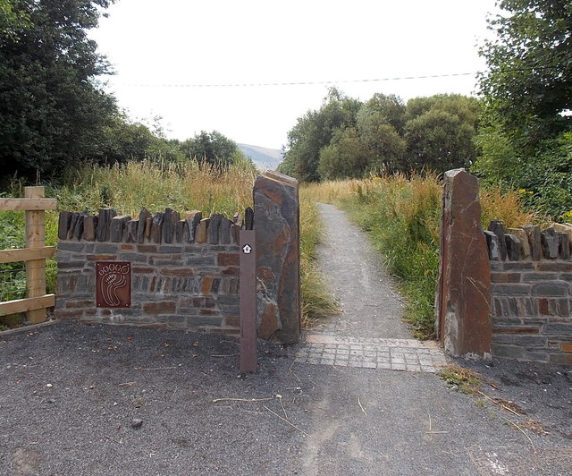
Image: © Jaggery Taken: 26 Jul 2013
The Ebbw Fach Valley was an important industrial area for the iron and coal industry. Removal of industrial scars by land reclamation and environmental improvements has made it a better place to live, work and walk. The 16 km long Ebbw Fach Trail links 14 community green spaces with a variety of amenities, from Beaufort Hill Woodlands in the north to Llanhilleth in the south.
Images are licensed for reuse under creativecommons.org/licenses/by-sa/2.0
Image Location
Latitude
51.778534
Longitude
-3.168243