Lockington Quarry & Readymix Plant
Introduction
The photograph on this page of Lockington Quarry & Readymix Plant by Chris J Dixon as part of the Geograph project.
The Geograph project started in 2005 with the aim of publishing, organising and preserving representative images for every square kilometre of Great Britain, Ireland and the Isle of Man.

There are currently over 7.5m images from over 14,400 individuals and you can help contribute to the project by visiting https://www.geograph.org.uk
Lockington Quarry & Readymix Plant
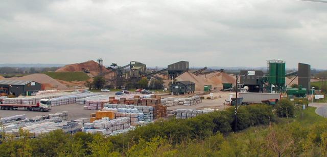
Image: © Chris J Dixon Taken: 15 Apr 2005
A bit of an eyesore, but it only has M1 J24a to compete with
Images are licensed for reuse under creativecommons.org/licenses/by-sa/2.0
Image Location


Leaflet Map data © OpenStreetMap
Latitude
52.857321
Longitude
-1.298964