A view NW along the A466 in Tintern
Introduction
The photograph on this page of A view NW along the A466 in Tintern by Jaggery as part of the Geograph project.
The Geograph project started in 2005 with the aim of publishing, organising and preserving representative images for every square kilometre of Great Britain, Ireland and the Isle of Man.

There are currently over 7.5m images from over 14,400 individuals and you can help contribute to the project by visiting https://www.geograph.org.uk
A view NW along the A466 in Tintern
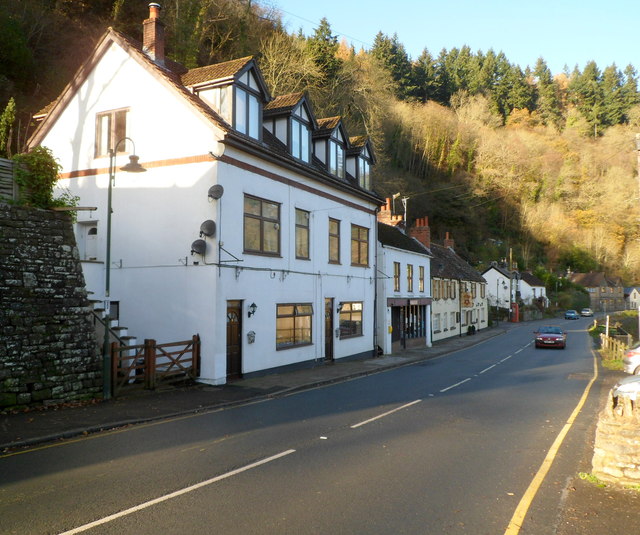
Image: © Jaggery Taken: 27 Nov 2011
This section of the A466 is between the steep wooded edge of Barbadoes Hill and the River Wye. The car is alongside the police office http://www.geograph.org.uk/photo/3570981 and the Rose & Crown. http://www.geograph.org.uk/photo/3570965
Images are licensed for reuse under creativecommons.org/licenses/by-sa/2.0
Image Location
Latitude
51.70008
Longitude
-2.683934