Upper Winchendon from the South West
Introduction
The photograph on this page of Upper Winchendon from the South West by David Hillas as part of the Geograph project.
The Geograph project started in 2005 with the aim of publishing, organising and preserving representative images for every square kilometre of Great Britain, Ireland and the Isle of Man.

There are currently over 7.5m images from over 14,400 individuals and you can help contribute to the project by visiting https://www.geograph.org.uk
Upper Winchendon from the South West
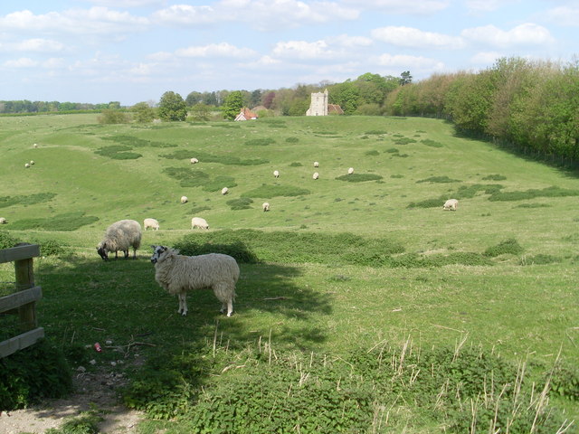
Image: © David Hillas Taken: 6 May 2013
This photo was taken on a circular walk from nearby Waddesdon and is of St Mary Magdalene Parish Church in the distance with The Waterhouse to its left. Sheep can be seen grazing in the field in front of those buildings.
Images are licensed for reuse under creativecommons.org/licenses/by-sa/2.0
Image Location
Latitude
51.822468
Longitude
-0.921791