Tamar Avenue, Durrington
Introduction
The photograph on this page of Tamar Avenue, Durrington by Simon Carey as part of the Geograph project.
The Geograph project started in 2005 with the aim of publishing, organising and preserving representative images for every square kilometre of Great Britain, Ireland and the Isle of Man.

There are currently over 7.5m images from over 14,400 individuals and you can help contribute to the project by visiting https://www.geograph.org.uk
Tamar Avenue, Durrington
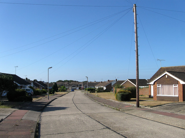
Image: © Simon Carey Taken: 20 Jul 2013
Part of a residential housing estate developed in the 1960s on former farmland and nurseries. All the roads on the estate are named after British rivers with this one running between Clyde Road and Adur Avenue with the junction to Hamble Gardens visible in the distance on the right.
Images are licensed for reuse under creativecommons.org/licenses/by-sa/2.0
Image Location
Latitude
50.837316
Longitude
-0.418466